The subtle value
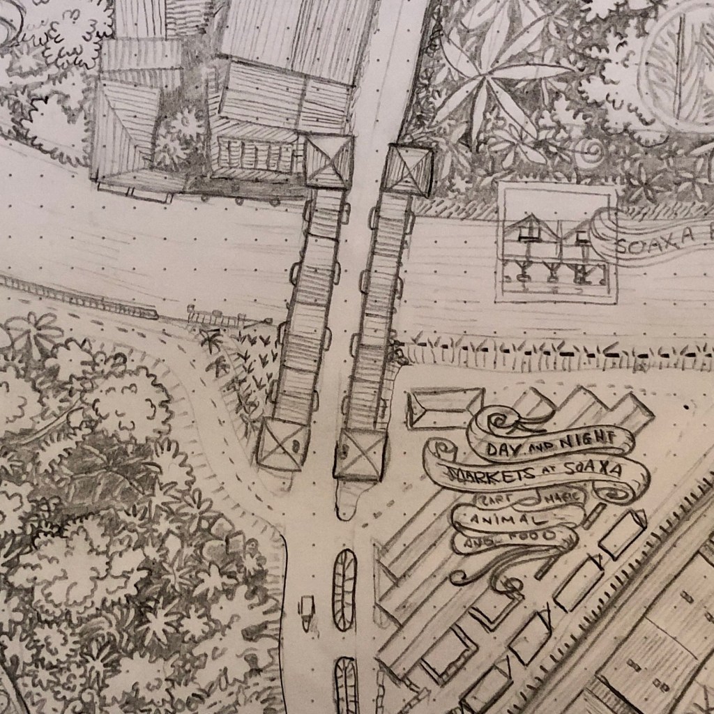
This is the first major deliverable of this project. If you draw maps on paper, for fantasy or real worlds, I recommend contemplating the image above and why it’s such a breakthrough.
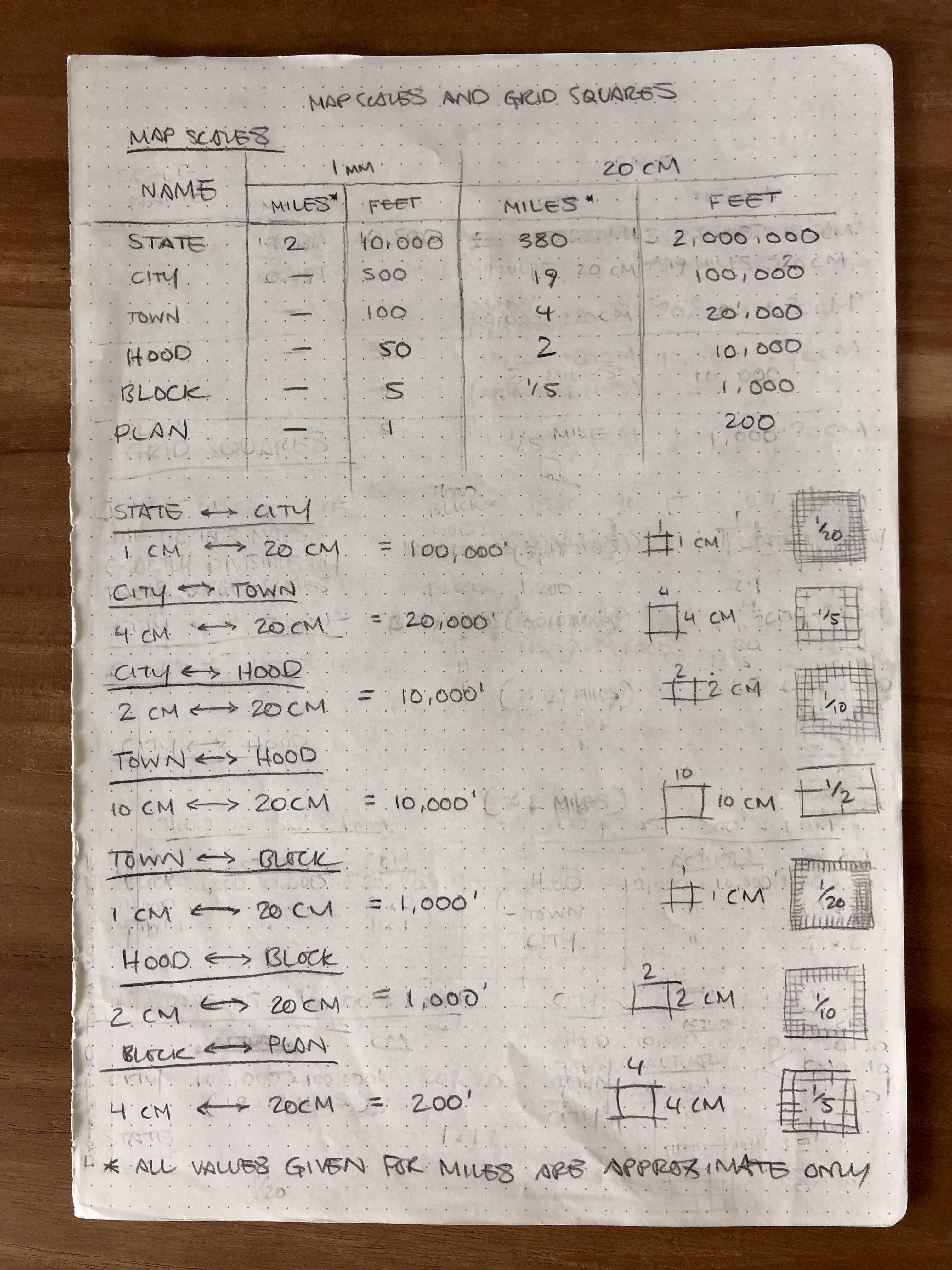
Comfortably draw in miles and feet on millimetre squared paper
- Every scale uses the same tile size and fits on A4*
- At every scale 1mm, 5mm and 10mm equate to something clear
- All tiles are easily divisible into tiles of the scale or scales below
At Plan scale, a 5mm square represents a five foot (5′) square. The same is represented by 1mm at Block scale. At Hood scale, 1mm equates to 50′ and 100′ at Town scale, and so on.
The most awkward point was City scale, where we transition from feet to miles and even that isn’t too awkward. 1 mile is 5280′, at City scale we draw that precisely as 10.56mm, which is visually 1cm. The only thing we have to remember is that a city tile (20x20cm) represents 19x19miles. With that awkward moment out the way we move up to State scale tiles, where 1mm is near enough 2miles and we’ve made the transition from feet to miles without complicating the milimetres that we’re drawing and measuring.
Why mix milimetres and miles
If you grew up, in the UK, playing Dungeons & Dragons you’ll understand
- I draw on A4 paper so 20cm tiles are convenient to print, lightbox, redraw and scan.
- I work in millimetres rather than inches and can judge 5mm or 1cm by eye. My rulers are numbered that way and I prefer decimal calculation.
- I draw maps for D&D and Pathfinder – two game systems that use a 5′ grid floorplan, range increments in feet, and miles for longer distances.
So, as unlikely as the scenario might seem, that is the system upon which these mapping tools are based.
a structure is created in which creativity can thrive
There’s a concept in software utilities called “highly opinionated” that has inspired this system. The statements above are not expected to change. The rigidity they provide enables flexibility elsewhere – a structure is created within which creativity can thrive.

Footnotes
*The twenty centimetre tiles fit even better on US Letter, which is wider than A4, so if I find US Letter paper with a 5mm dotted grid I’ll be all over it.

One response to “Map scales, tiles and grids”
[…] I have my scales worked out and now I can pick a point anywhere in the world and calculate which tile it sits on at any […]
LikeLike