So I have my scales worked out and now I can pick a point anywhere in the world and calculate which tile it sits on at any scale.
Don’t automated something until you’ve done it manually first.
They say, “Don’t automated something until you’ve done it manually first.”
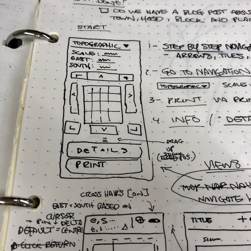
Who says that? You know, them – the ones that have done it before. So that’s what I’ve been doing. I have my City tile and I’ve been manually stepping down into the four Town scale tiles that fit within it, so I can go into Hood, Block and Plan in turn. It takes a while just to produce the blank pages with the accurate coordinates in the margins, and scale bars along the bottom, not to mention, the careful counting, and simple yet error-prone calculations to ensure each change of scale is done correctly.
Introducing automation
I’m looking at a test:
Do we have a blog post announcing the ability to print a blank guide for every city, block, hood and plan tile?
The simple answer is that no, right now we don’t.
I’m working on that.
